Looking for a USA 3D map download that actually looks good on your wall, in your presentation, or inside your design project? You’re in the right place. Whether you need a raised-relief style map for home decor, a 3D-rendered political map for a school project, or a high-resolution digital file for commercial design work, this guide walks you through everything: what a 3D USA map actually is, the different styles available, where and how to download one, file formats to look for, and tips to pick the best version for your specific use case.
By the end of this article, you’ll know exactly which type of 3D map of the United States fits your needs — and how to get a downloadable version that looks sharp whether it’s printed on canvas or displayed on a screen.
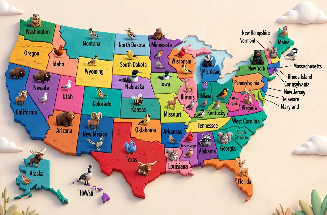
What Is a 3D USA Map?
A 3D USA map is a visual representation of the United States that adds depth, elevation, or a stylized rendered perspective instead of the flat, two-dimensional look of a traditional map. Instead of just showing state borders and city names on a flat plane, a 3D map can show:
– **Elevation and terrain** — mountains rise, valleys sink, and you can visually see the Rockies, Appalachians, and Great Plains in relief.
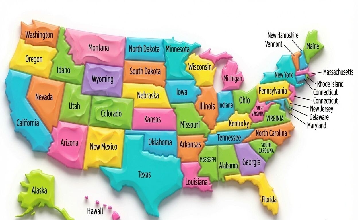
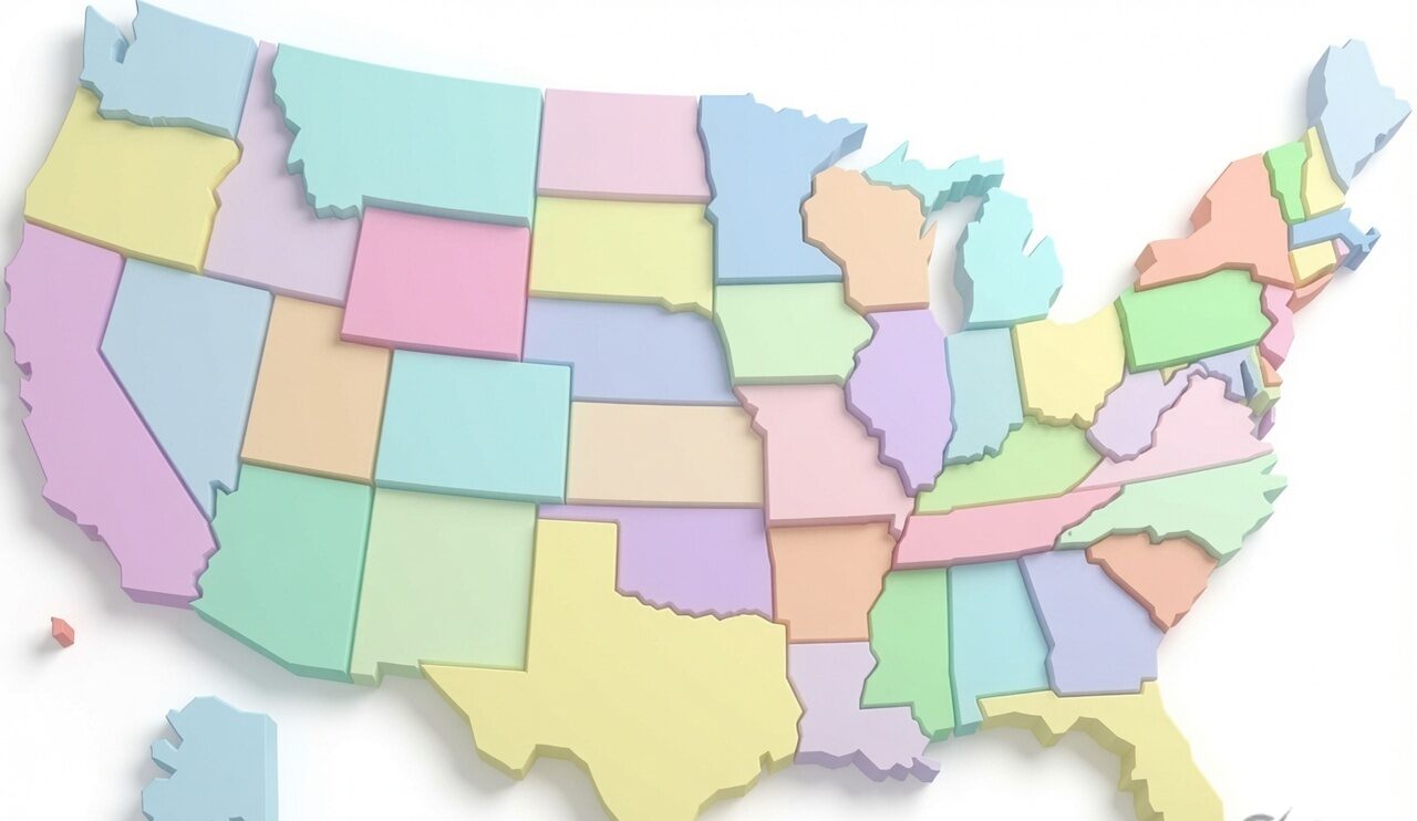
– **Stylized extruded states** — each state is “raised” like a puzzle piece, often used in modern wall art and posters.
– **Isometric or perspective renders** — the map is tilted and rendered with lighting and shadow to create a 3D digital art effect, popular for wallpapers, thumbnails, and design projects.
– **Topographic depth maps** — used in GIS, education, and science content to show real elevation data accurately.
Each of these styles serves a different purpose, so the “best” 3D map really depends on what you’re using it for.
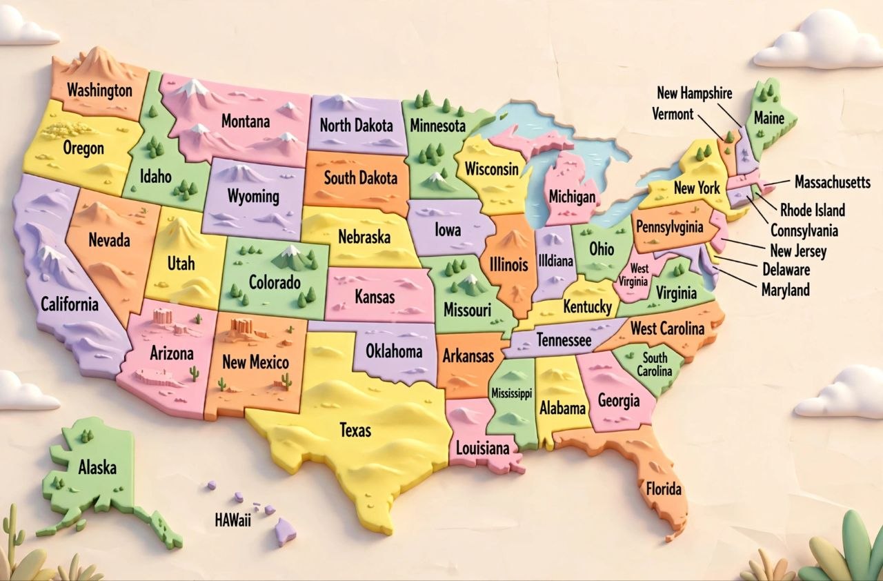
Why People Search for a 3D USA Map Download
There are a handful of common reasons people look for this kind of file:
1. **Home and office decor** — 3D-style USA map posters and canvas prints are a popular design trend right now.
2. **Educational projects** — students and teachers often need a clear 3D relief map to study elevation, geography, or regional terrain.
3. **Presentations and design work** — marketers, YouTubers, and content creators use stylized 3D US maps as thumbnails, slide backgrounds, or infographics.
4. **Data visualization** — analysts building dashboards sometimes want a 3D-rendered base map for regional data (population, sales, election results, etc.).
5. **Gifts and novelty items** — 3D wood-carved or laser-cut USA maps are popular gift ideas, and people search for digital templates to make them.
Understanding your own use case first will save you time, since the ideal file format and resolution differ a lot between “I want to hang this on my wall” and “I want to laser-cut this out of wood.”
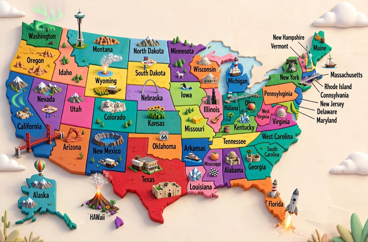
Popular Styles of 3D USA Maps
1. Raised Relief / Topographic Style
This style focuses on real elevation data, so the Rockies, Sierra Nevada, and Appalachian ranges are clearly visible as raised terrain. It’s the most “realistic” 3D interpretation of the country and is popular in classrooms, offices, and among geography enthusiasts.
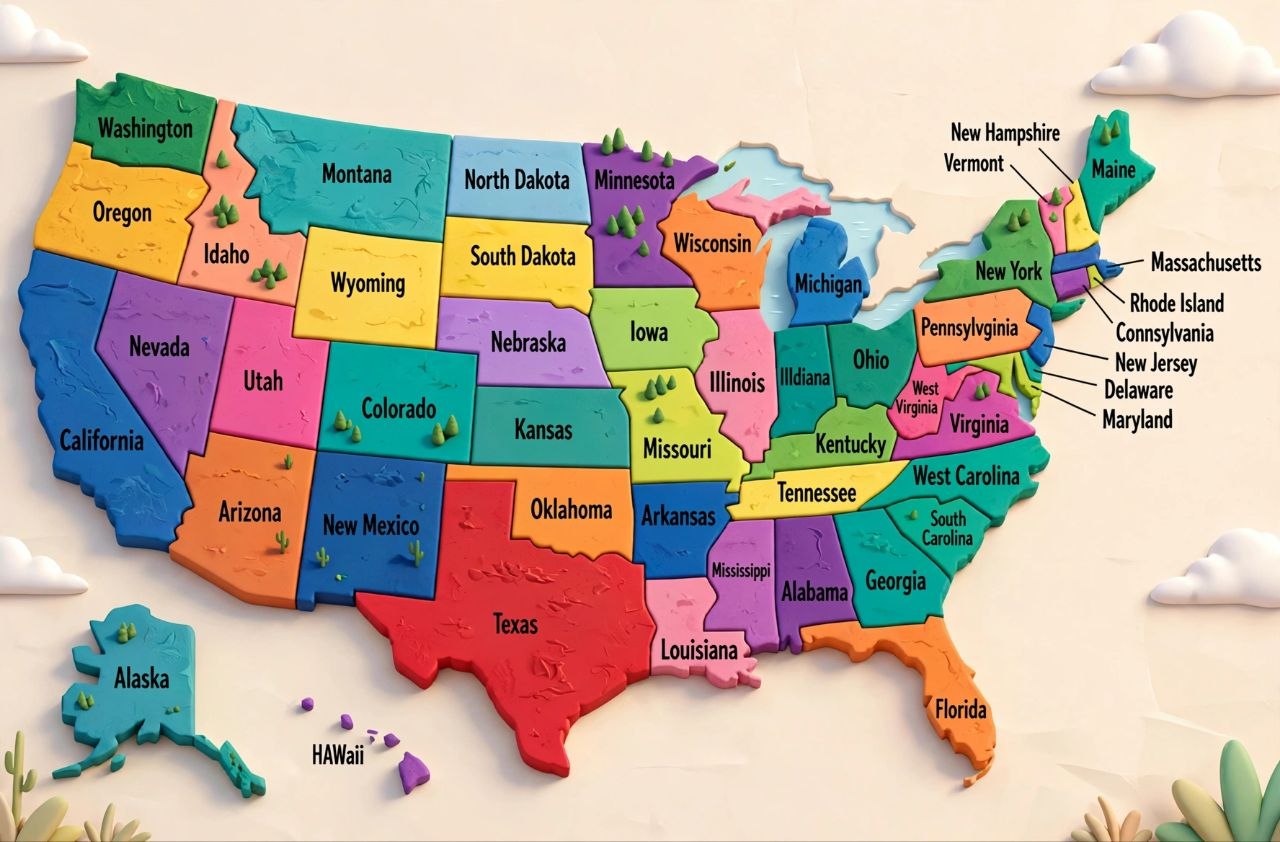
2. Extruded State Map (Puzzle-Piece Look)
Each state is rendered as a flat, raised block, almost like a 3D puzzle. This has become a hugely popular modern art style for posters, mugs, and laptop wallpapers because of its clean, minimalist look.
3. Isometric City & State Illustrations
Instead of the whole country, these focus on isometric-style renders of individual states or cities, often used for travel graphics, blog headers, and social media content.
4. Wood, Metal, or Laser-Cut Template Maps
These are technically 2D vector files (usually SVG or DXF), but they’re designed to be cut and layered to create a physical 3D map — extremely popular on platforms like Etsy and among woodworking hobbyists.
5. Digitally Rendered 3D Globe/Perspective Maps
These maps show the USA on a tilted, shaded 3D render, often used for tech dashboards, weather graphics, and news broadcasts.
File Formats You’ll Commonly Find
When you search for a **USA 3D map download**, you’ll come across a range of file types. Here’s what each is best for:
| Format | Best For |
|——–|———-|
| **JPG / PNG** | Wallpapers, presentations, quick web use |
| **PDF** | Printing, sharing, high-res static viewing |
| **SVG** | Editable vector graphics, scalable without quality loss |
| **DXF / AI** | Laser cutting, CNC routing, physical 3D map projects |
| **OBJ / STL** | 3D printing or 3D modeling software |
| **PSD** | Layered Photoshop files for full design customization |
If you’re printing a poster or canvas, look for **high-resolution PNG or PDF files (300 DPI or higher)**. If you’re building a physical 3D model or laser-cut piece, you’ll want **vector formats like SVG or DXF**. If you’re working in a 3D modeling tool, **OBJ or STL** is the way to go.
## How to Choose the Right Resolution
Resolution matters a lot more than people expect, especially for printed maps. Here’s a quick reference:
– **Digital use only (wallpaper, thumbnail, social post):** 1920×1080 or higher is usually enough.
– **Small prints (up to 12×18 inches):** aim for at least 150 DPI at final print size.
– **Large wall art or canvas prints (24×36 inches or bigger):** 300 DPI at full size is ideal — this often means files in the range of 7000+ pixels wide.
– **Laser cutting or CNC:** resolution isn’t the issue here, vector accuracy is — always use SVG, DXF, or AI files, never a raster image.
Step-by-Step: Downloading and Using a 3D USA Map
1. **Decide your use case first** — wall art, education, design project, or physical build.
2. **Pick the right style** — relief/topographic, extruded state, isometric, or vector template.
3. **Check the resolution or file format** matches your project (see the table above).
4. **Preview before downloading** — zoom into a sample to check detail level, especially state borders and labeling.
5. **Download and verify the file opens correctly** in your intended software (Photoshop, Illustrator, a 3D printer slicer, etc.).
6. **Customize if needed** — many files are layered or editable, so you can adjust colors, labels, or state highlights.
7. **Export or print** at your target resolution once you’re happy with the customization.

## Creative Ways to Use a 3D USA Map
– **Interior decor:** Framed prints or canvas wraps of extruded state maps look striking in living rooms and offices.
– **Classroom teaching aids:** Topographic 3D maps help students visually grasp elevation and terrain concepts far better than flat maps.
– **YouTube and blog graphics:** A stylized isometric 3D map makes for an eye-catching thumbnail or header image for travel, real estate, or data content.
– **Business dashboards:** Sales, population, or regional performance data often looks more engaging layered over a subtly shaded 3D base map.
– **DIY and gifting:** Wood-layered 3D state maps make excellent personalized housewarming or anniversary gifts.
## Tips for Getting the Best-Looking 3D Map
– Always preview at 100% zoom before downloading to check for pixelation or blurry state labels.
– For wall art, choose a version with strong contrast and shadow depth — flat lighting looks less “3D.”
– If you plan to print large, confirm DPI and pixel dimensions, not just file size.
– For editable projects, prefer layered PSD or vector SVG files so you can tweak colors or highlight specific states.
– Match the map style to your room or brand’s color palette — muted earth tones for a natural look, bold colors for a modern minimalist look.
Check this also: maharashtra-state-political-maps
## Frequently Asked Questions
**Is a 3D USA map download usually free?**
It depends on the source and intended use. Many basic wallpaper-style images are free for personal use, while high-resolution, print-ready, or commercial-license files are often paid.
**What’s the best format for printing a large poster?**
A high-resolution PNG or PDF at 300 DPI, matched to your exact print dimensions, gives the sharpest results.
**Can I 3D print a USA map?**
Yes — look for OBJ or STL files specifically designed for 3D printing, which include actual height/depth data rather than just a flat image styled to look 3D.
**What’s the difference between a topographic map and an extruded state map?**
A topographic map shows real elevation and terrain (mountains, valleys), while an extruded state map is a stylized design where each state appears raised like a block, regardless of actual elevation.
## Final Thoughts
A great **USA 3D map download** comes down to matching the right style and file format to your actual project — whether that’s a striking piece of wall art, a classroom teaching tool, a laser-cut wood gift, or a polished design asset for your next presentation. Take a moment to confirm resolution and format before downloading, and you’ll end up with a map that looks sharp wherever you use it.
—